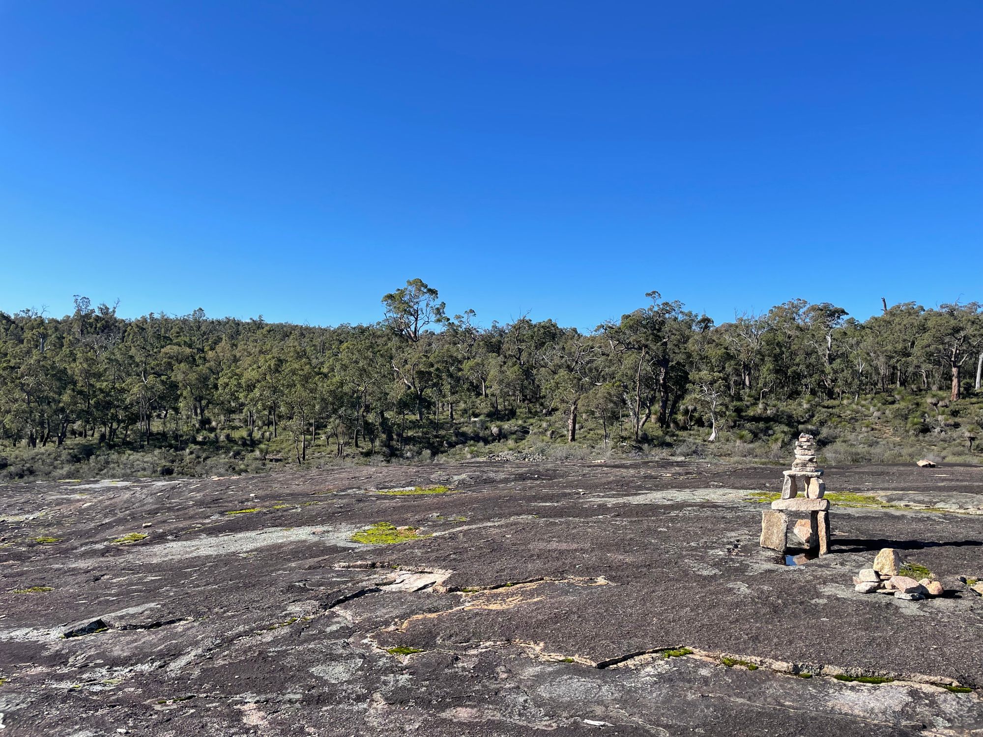
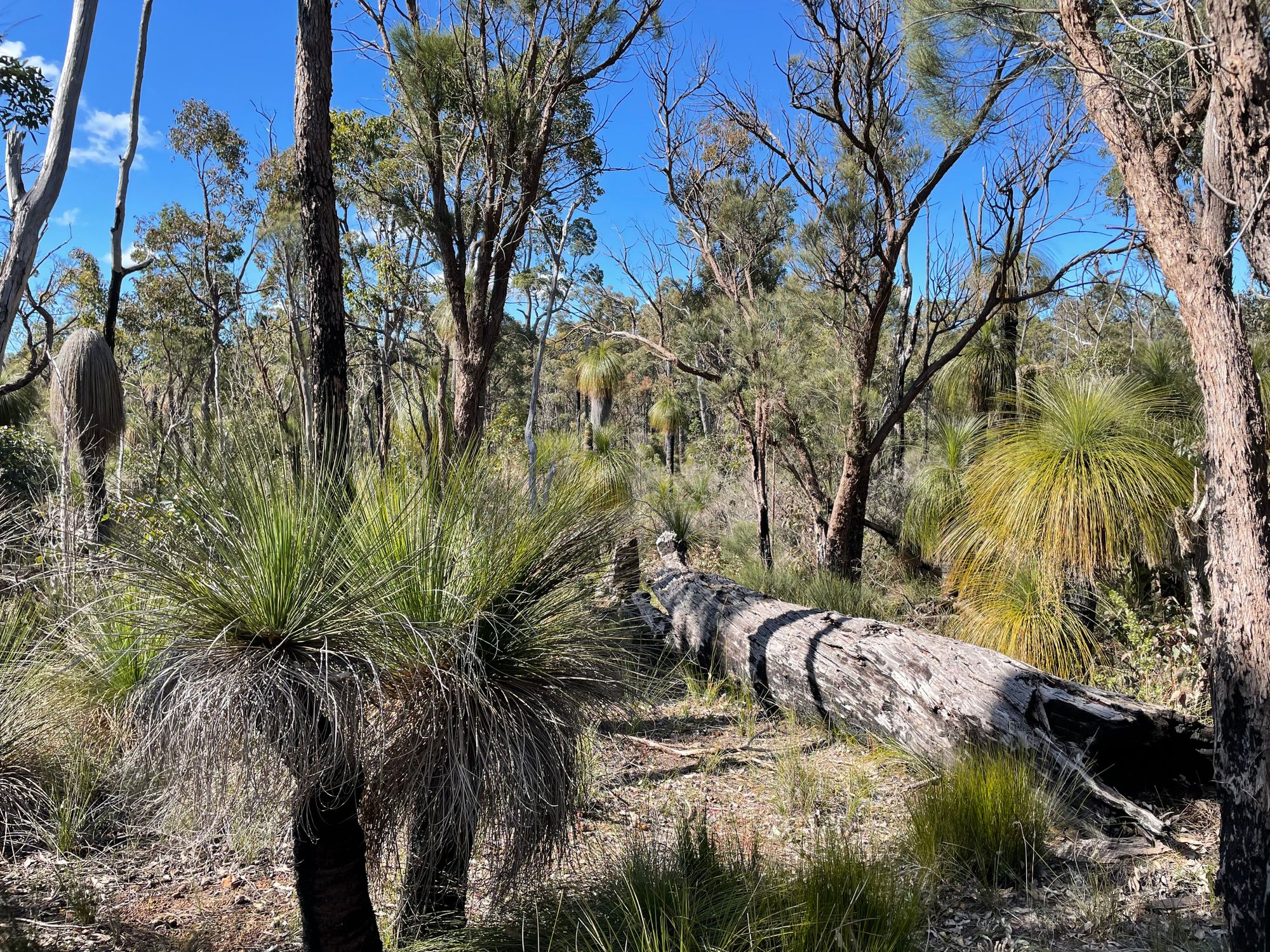
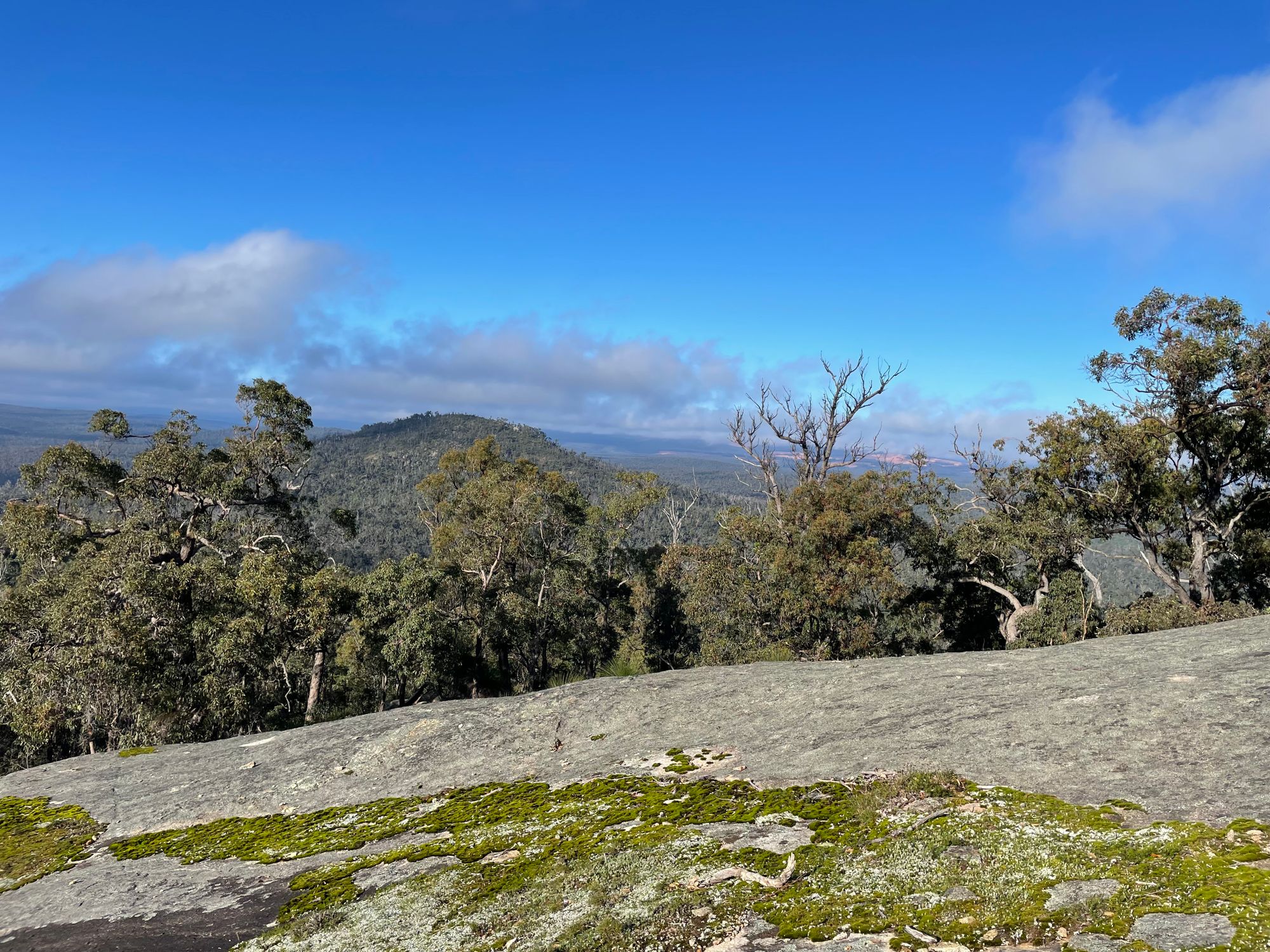
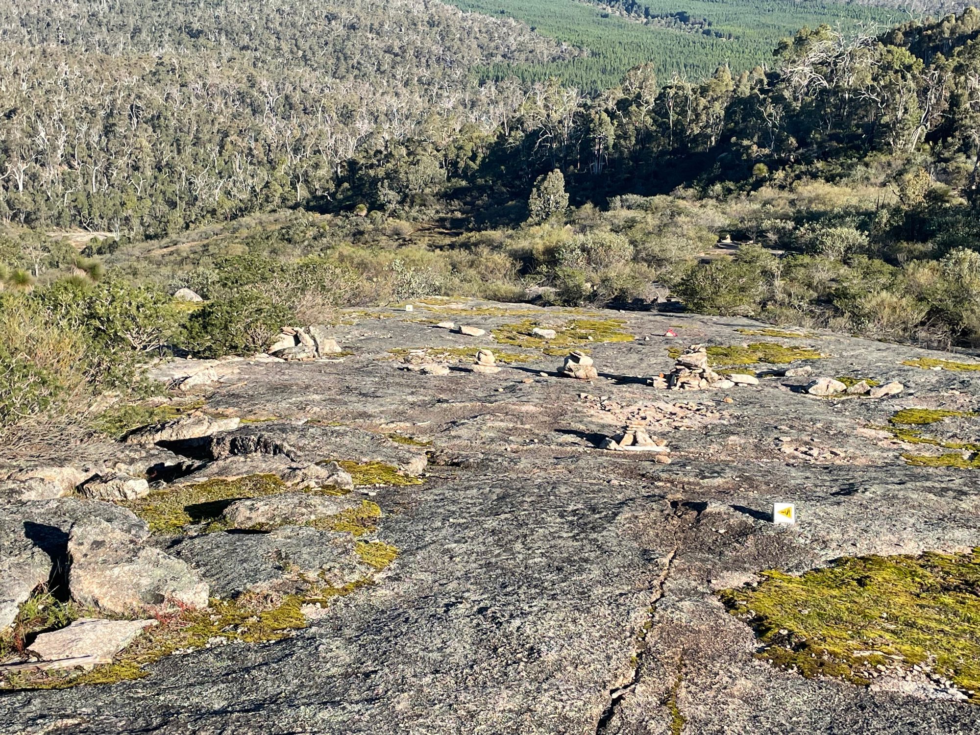
Great views when you catch your breath after a steep climbOn rocky areas small piles of rocks called rock cairns - these are the markers instead of the WaugalPlenty... read more
Brookton Highway to Albany Highway: 69km in 4 days
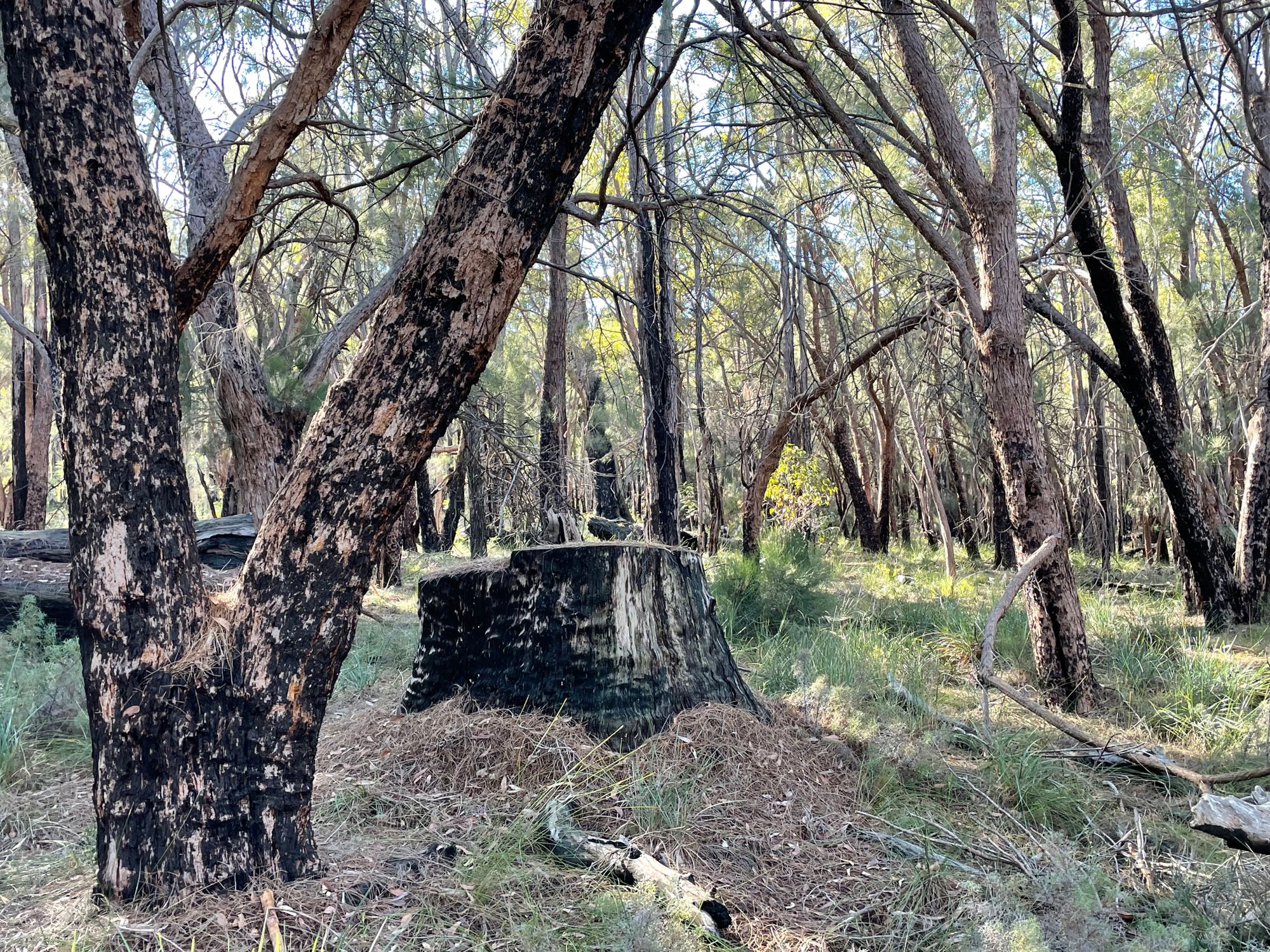
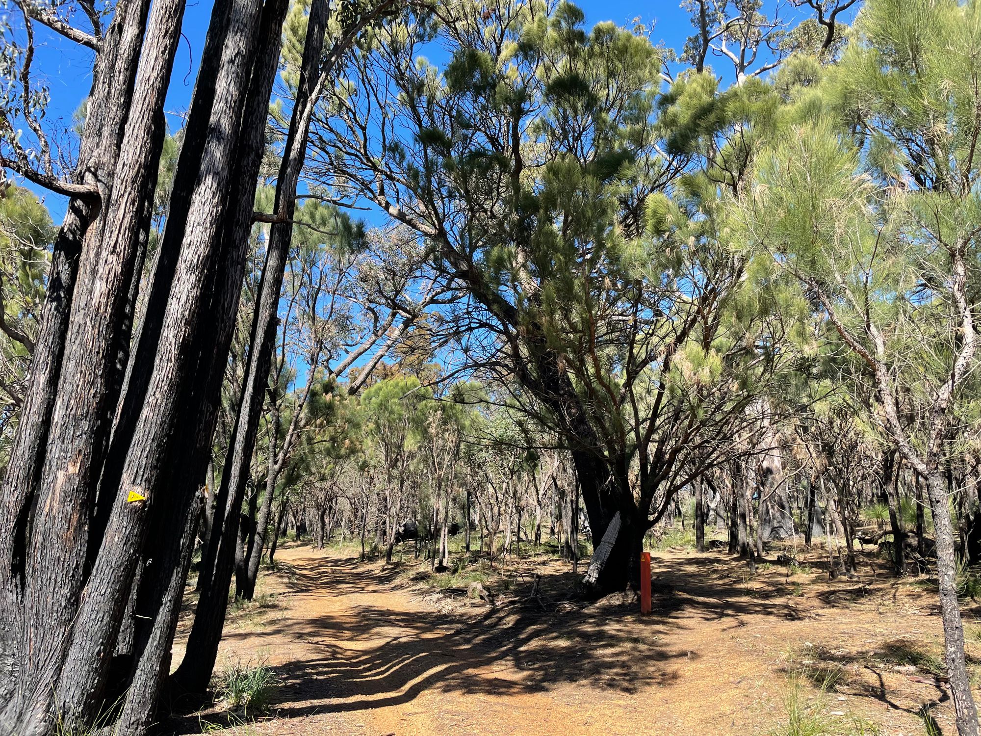
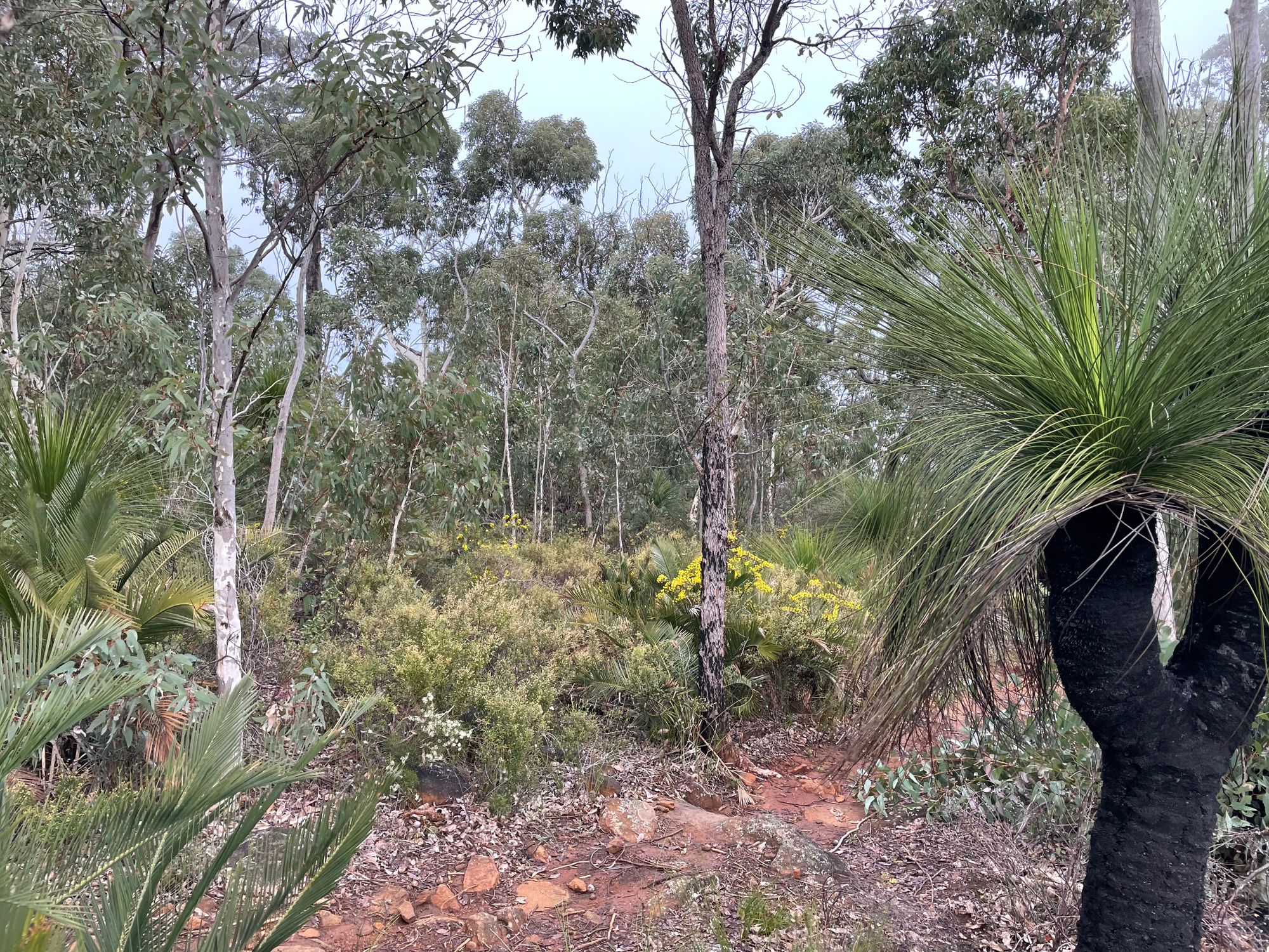
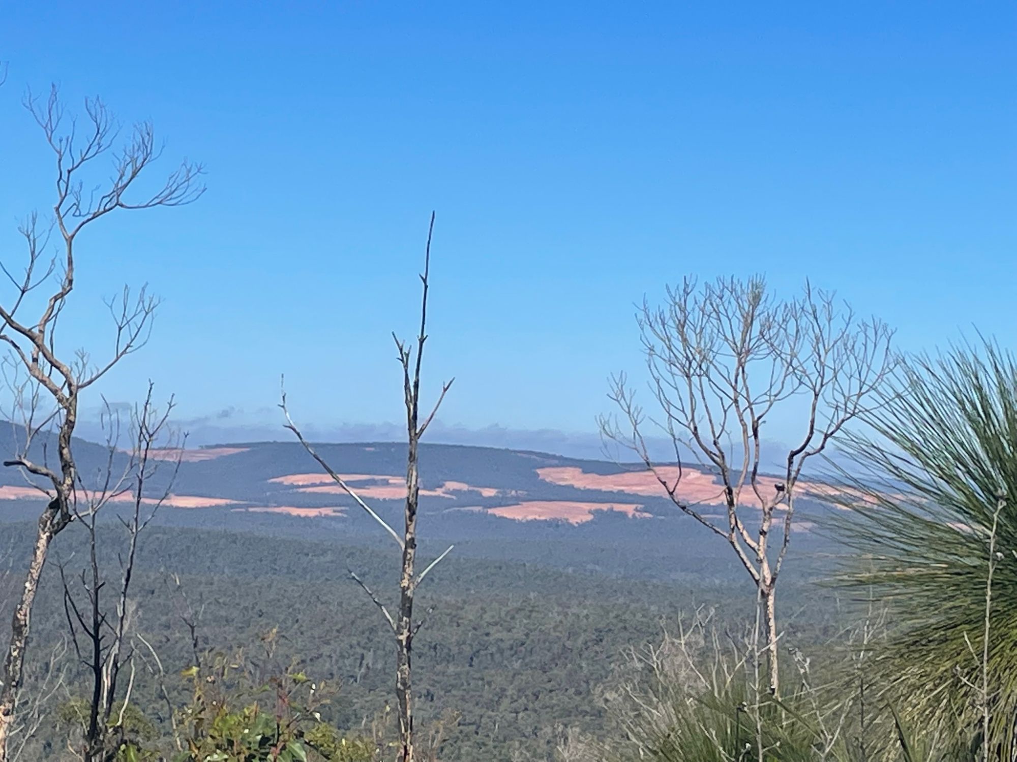
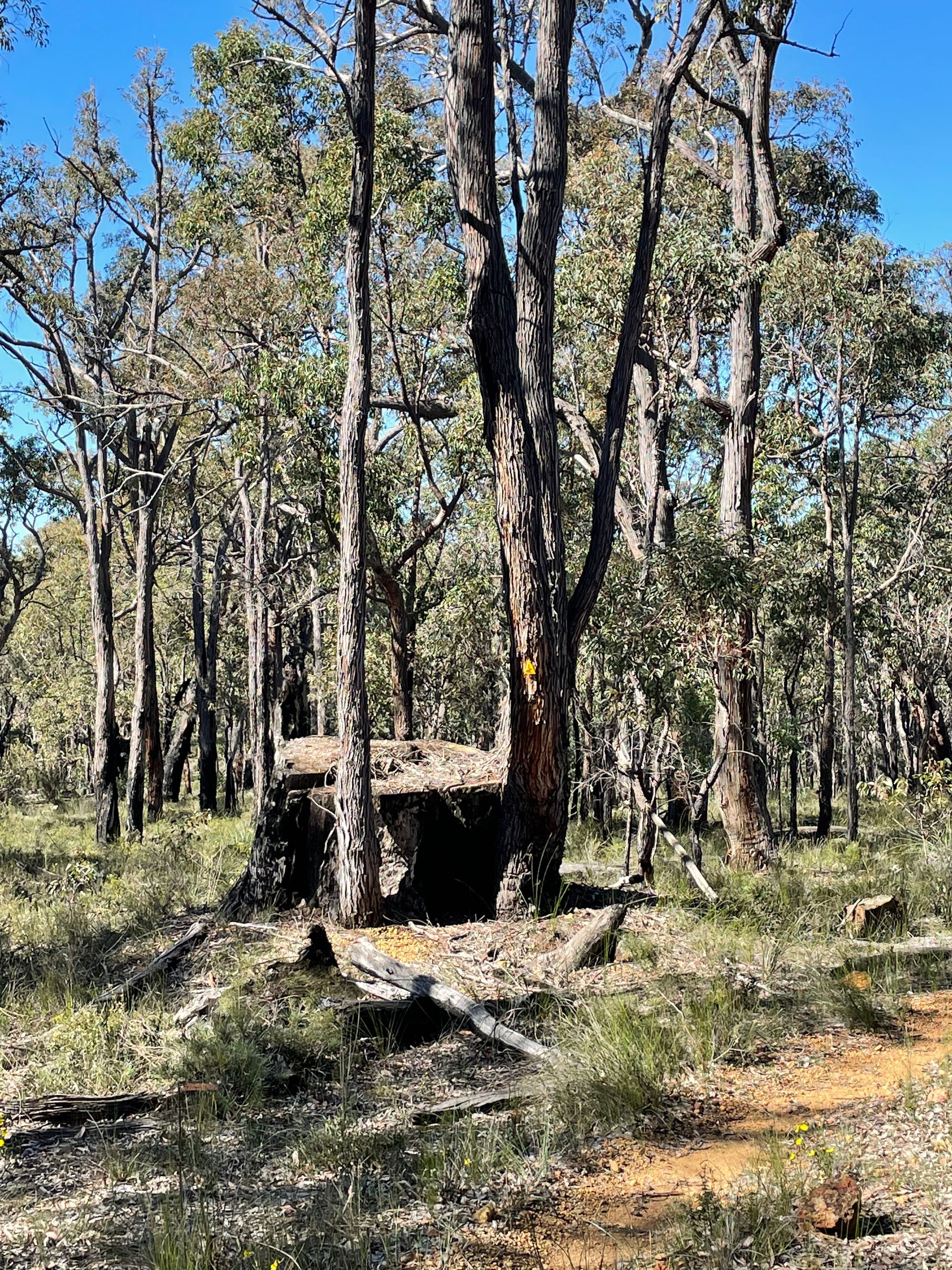
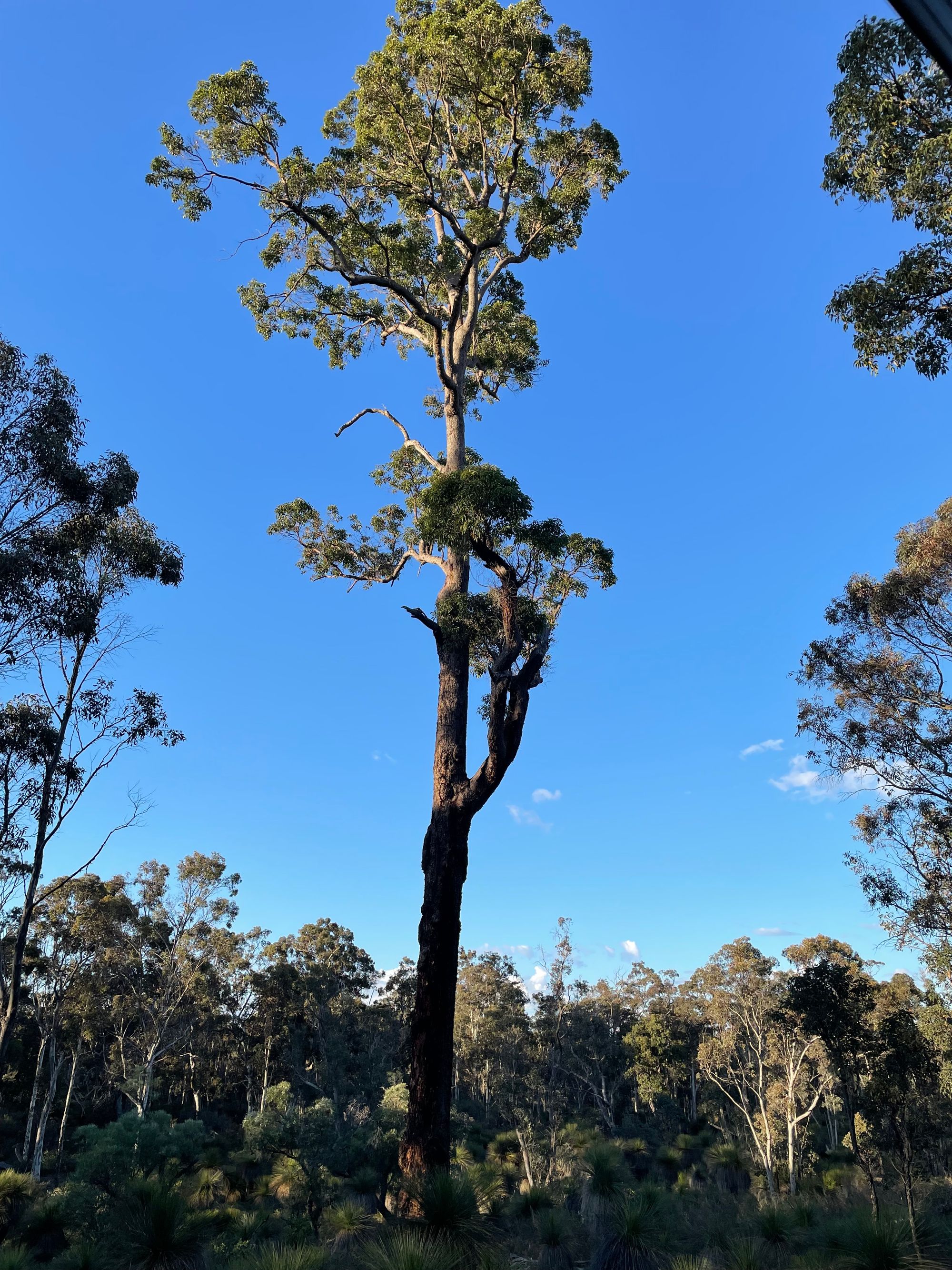
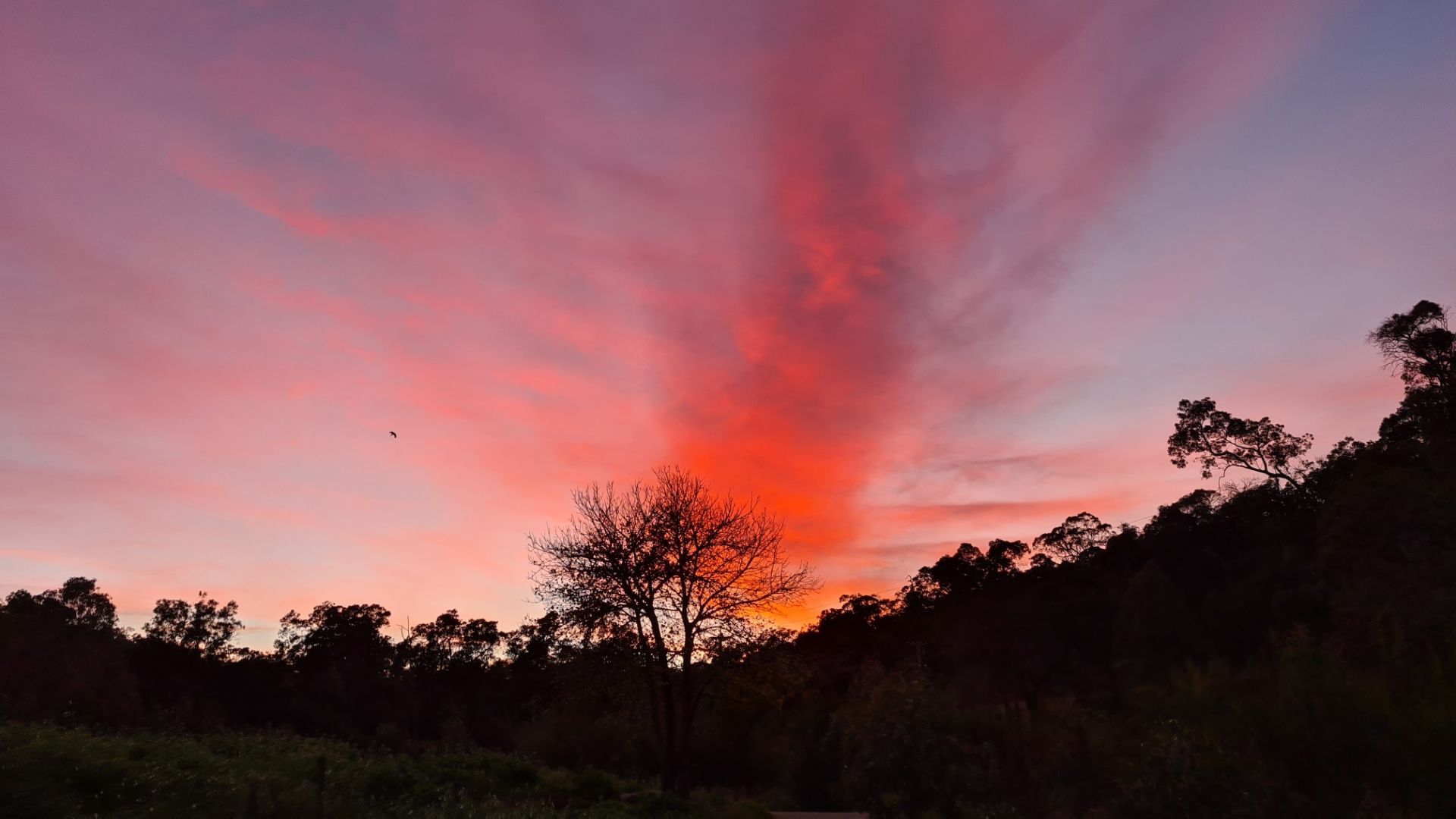
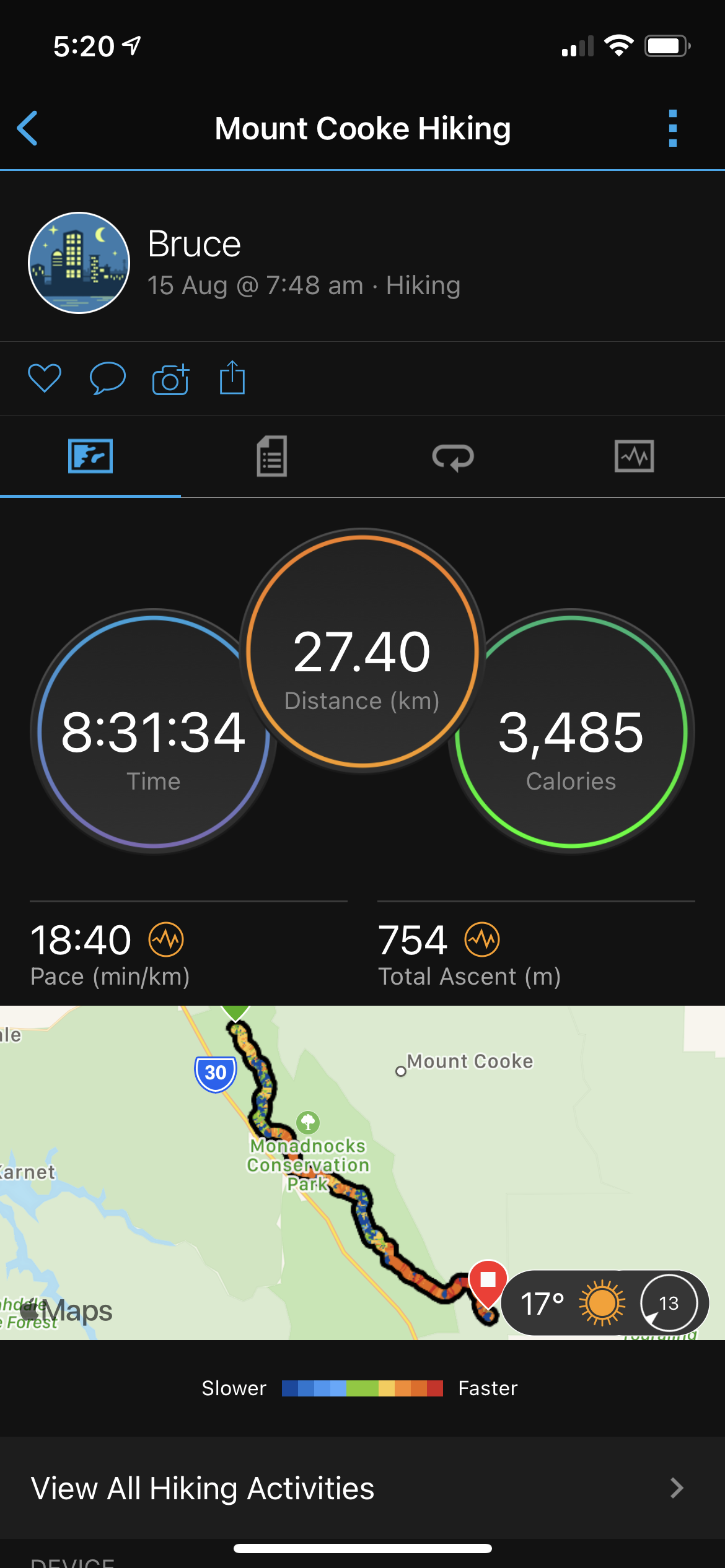
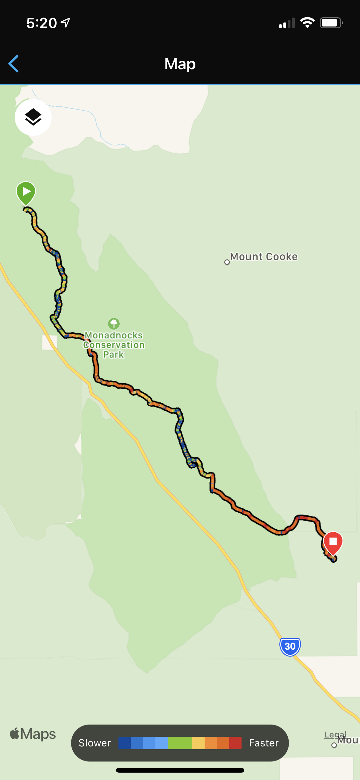
Great views when you catch your breath after a steep climbOn rocky areas small piles of rocks called rock cairns - these are the markers instead of the WaugalPlenty of grass trees and a good log to rest onYou can never have enough markers, especially at an intersection. Some of the paths are quite rocky, but no twisted ankle so farLooking towards the Boddington mine siteSpot the marker that I missed seeing - a waste of energy that wasA sign of the size of trees that used to be presentGringer Creek (near North Bannister) campsite to myselfGringer Creek sunsetGood fun to have a fire to sit around, and the smoke helps keep the mossies awayMy smart Garmin watch keeps a track of how far I have walked, my time etcMy watch downloads a copy of my walk to show my speed = terrain